

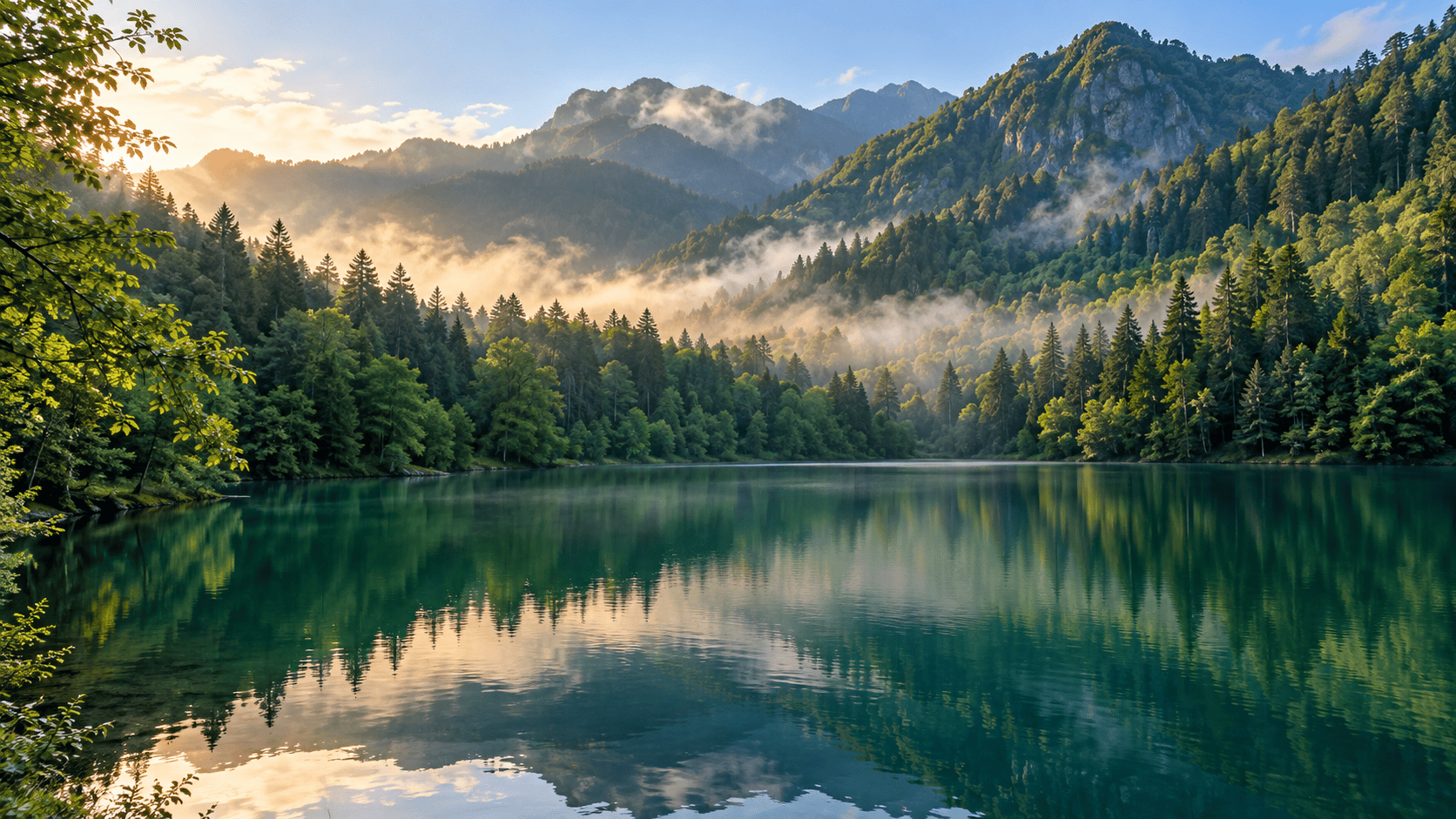

Artvin stands as one of Turkey’s most dramatic, vertically challenged, and fiercely atmospheric provinces. Tucked away in the extreme northeast corner of the country, pressed hard against the Georgian border and plunging down toward the turbulent Black Sea, Artvin is a landscape of extremes. Here, jagged peaks of the Kaçkar Mountains scrape the sky, rushing glacial rivers carve impossibly deep canyons, and pocket-sized plateaus hide emerald-green highland meadows known as yaylas. Unlike the sun-drenched resort towns of the Mediterranean, Artvin rewards the curious traveler with moody mists, ancient stone fortresses perched over precipitous cliffs, and an authentic Black Sea culture that feels entirely detached from the modern rush.
If you are planning to move beyond the usual tourist trail and experience the untamed heartbeat of northeastern Turkey, this comprehensive guide explores Artvin’s pristine lakes, towering mountains, and rich regional heritage. For tailored assistance in designing your itinerary, you can explore professional options via DMC services or build your dream journey through Plan My Trip.
Understanding Artvin’s Geography: Mountains Meet the Black Sea
To travel through Artvin is to navigate a terrain where geography dictates lifestyle. The province is defined by the mighty Çoruh River, one of the fastest-flowing rivers in the world, which has carved monumental gorges through layers of rock over millennia. The climate is a fascinating study in micro-climates; while the northern coastal valleys catch the heavy, moisture-laden clouds blowing off the Black Sea—resulting in lush subtropical vegetation and frequent rain—the interior highlands shift rapidly into alpine conditions with crisp air and snowy summits.
This dramatic topography means that travel here is slow, deliberate, and endlessly rewarding. Distances on a map can be deceiving; a town that appears only a few miles away might require negotiating dozens of hairpin turns as the road winds up and down canyon walls. Embracing the pace of slow travel is essential for anyone wishing to uncover Artvin’s hidden corners. Whether you are traversing suspension bridges over roaring torrents or gazing up at Byzantine-era watchtowers clinging to sheer cliff faces, the landscape demands your full attention and rewards it with unforgettable panoramas.
Borçka Karagöl: The Emerald Jewel of the Lower Valleys
Located within the Borçka district, Karagöl (Black Lake) is perhaps Artvin’s most famous natural masterpiece, yet it retains a profound sense of tranquility. Formed in the late 19th century when a massive landslide blocked the course of a local stream, this landslide-dammed lake sits nestled inside a dense, protected nature park. The surrounding forest is a cathedral of ancient beech, spruce, and alder trees that plunge their roots directly into the dark, reflective waters.
Visiting Borçka Karagöl feels like stepping into an oil painting. In autumn, the canopy explodes in a riot of fiery copper, golden yellow, and deep amber, all mirrored perfectly on the glass-like surface of the lake. Visitors can rent small wooden rowboats to glide across the water or walk the shaded loop trail that hugs the perimeter. Because of its popularity among regional travelers, visiting early in the morning offers the most magical experience, when wisps of mist still cling to the water’s surface and the forest is entirely silent.
Şavşat Karagöl and Sahara National Park: Alpine Serenity
While Borçka Karagöl captures the lush subtropical aesthetic of the lower elevations, the Şavşat district offers a completely different alpine personality further east. Şavşat-Karagöl, distinct from its Borçka counterpart, is situated at a higher elevation amid sweeping meadows and traditional wooden architecture. The surrounding villages are famous for their unique, hand-crafted timber houses and deep-rooted agricultural traditions that have changed very little over generations.
Adjacent to these highland lakes lies the Sahara National Park, a sprawling expanse of high-altitude plateaus, mineral springs, and dense pine forests. Sahara Yayla is particularly famous for the annual traditional bull-wrestling festivals and folk gatherings that celebrate nomadic heritage. Hiking trails crisscross the park, connecting remote yaylas where shepherds graze their livestock during the summer months. Exploring Şavşat requires a willingness to venture off the main highway and embrace gravel roads that lead to quiet viewpoints overlooking endless waves of mountains.
Route Planning and Slow Travel in Northeastern Turkey
Artvin is not a destination for rushed itineraries or rigid schedules. Crafting a successful journey here means allowing flexibility for weather delays, spontaneous stops at roadside tea houses, and unhurried conversations with local residents. A classic route typically starts from the coast—either Trabzon or Rize—and follows the Çoruh River valley inland toward Artvin city center, before branching out toward the mountain enclaves of Borçka, Şavşat, and ultimately the fringes of the Kaçkar range.
For travelers interested in incorporating Artvin into a broader Anatolian adventure, browsing structured itineraries such as the Turkey tours archive can provide valuable structural inspiration. When planning your logistics, keep the following travel principles in mind:
- Vehicle Selection: Renting a sturdy, high-clearance vehicle is highly recommended for navigating unpaved highland roads and steep mountain tracks.
- Pacing: Limit driving distances per day. Winding mountain roads take twice as long to cover as equivalent distances on modern highways.
- Local Guidance: Mountain weather and road conditions fluctuate unpredictably; always consult local villagers or regional guides before attempting high-pass crossings.
- Accommodation: Embrace authentic regional lodging, from family-run highland guesthouses to restored stone pensions in Şavşat and Hopa.
Weather, Road Conditions, and Seasonal Caveats
Timing your visit to Artvin is critical. Because of its extreme elevation and northern latitude, winters are harsh, long, and characterized by heavy snowfall that can block high-altitude mountain passes for months. Spring brings dramatic snowmelt, rushing torrents, and vibrant wildflowers, but it can also trigger temporary rockfalls and muddy road conditions in remote valleys.
The optimal window for general travel, hiking, and lake exploration extends from late June through September. During these summer months, the high yaylas are accessible, temperatures are pleasant during the day, and guesthouses are fully operational. However, even in mid-summer, evening temperatures in the mountains drop sharply, and afternoon mountain showers remain common. Travelers should always check current road status bulletins and national park advisories locally before embarking on remote drives.
Black Sea Culture, Culinary Traditions, and Responsible Tourism
The culture of Artvin is a vibrant tapestry woven from Laz, Georgian, and Turkish influences. Music and dance play a central role in daily life; the energetic rhythms of the horon dance, accompanied by the soulful wailing of the tulum (bagpipe) or kemençe (fiddle), echo across village squares during local festivals. Hospitality here is legendary—travelers are frequently invited into local homes or tea gardens for a steaming glass of locally grown Black Sea tea.
Culinary traditions reflect the rugged mountain environment. Staples include *kuymak* (a rich, stretchy fondue made of cornmeal, butter, and local tel peyniri cheese), fresh trout harvested from icy mountain streams, cornbread, and dishes flavored with wild herbs foraged from the alpine meadows. When exploring these fragile ecosystems and tight-knit communities, practicing responsible tourism is paramount:
- Respect local customs, privacy, and traditional dress codes in rural villages.
- Pack out all personal waste and avoid single-use plastics when visiting pristine sites like Borçka Karagöl.
- Support local artisans and family-run enterprises by purchasing regional honey, tea, and hand-carved wood crafts.
- Always ask permission before photographing local residents or private homesteads.
Frequently Asked Questions
When is the best time of year to visit Artvin and its lakes?
The ideal window is from late June to September. During these months, weather conditions are most stable, high-altitude mountain passes and yaylas are fully accessible, and autumn foliage begins to peak in late September.
Do I need a 4×4 vehicle to explore Artvin?
While main paved arteries connecting major towns can be driven in a standard car, a high-clearance vehicle or SUV is strongly advised if you plan to explore remote highland plateaus, unpaved forest tracks, and secondary routes leading to lesser-known lakes.
How does Borçka Karagöl differ from Şavşat Karagöl?
Borçka Karagöl sits at a lower, more humid elevation surrounded by dense subtropical broadleaf forests close to the coast. Şavşat Karagöl is located further inland at a higher alpine altitude, framed by pine forests and traditional timber architecture characteristic of the eastern borderlands.
Is English widely spoken in rural Artvin?
English is less common in remote mountain villages and small tea houses compared to major Turkish tourism hubs. Learning a few basic Turkish phrases and carrying a translation app will greatly enhance your travel experience.
Ready to Explore Artvin’s Wild Landscapes?
Let our travel experts help you craft a custom itinerary through Turkey’s dramatic mountains and Black Sea highlands.
1 Comment